US Hurricane Center warns of ‘Potential Tropical Cyclone One’; predicts heavy rains, flash floods in Texas, Louisiana
US Hurricane Center Warns of Potential Tropical Cyclone One: Flood Alerts for Texas, Louisiana US Hurricane Center warns of Potential - The National Hurricane
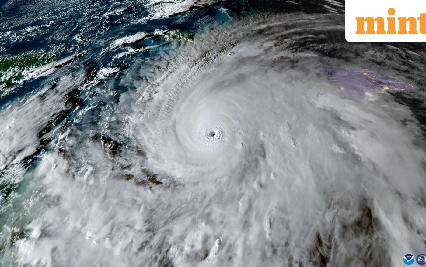
US Hurricane Center Warns of Potential Tropical Cyclone One: Flood Alerts for Texas, Louisiana
Theindiapostdaily.com – The National Hurricane Center (NHC) has issued a critical warning about the emergence of a “Potential Tropical Cyclone One” in the Gulf of Mexico, signaling the arrival of the 2026 Atlantic hurricane season. This developing weather system, first identified on Tuesday, June 16, has raised concerns among meteorologists and residents in the southern United States, particularly in Texas, Louisiana, and parts of Mississippi. The NHC emphasized that while the storm may not officially be named until it meets specific criteria, its potential to cause severe flooding and heavy rainfall already warrants heightened vigilance.
Understanding the Threat: What is a Potential Tropical Cyclone?
A “Potential Tropical Cyclone” is a term used by the NHC to describe a system that has the potential to develop into a tropical cyclone within 48 hours. This designation is typically applied when a tropical wave shows signs of organization, such as a defined circulation and convection, but has not yet attained the necessary strength to be classified as a tropical depression or storm. The system currently tracking in the Gulf of Mexico is expected to intensify as it interacts with warm ocean waters, which are crucial for cyclone formation.
According to recent updates, the system is anticipated to transition into a tropical storm by Wednesday, June 17, which could then lead to the first named storm of the season, likely named Arthur. The NHC has already activated Tropical Storm Watches for areas from Sargent, Texas, to Morgan City, Louisiana, indicating that the storm could bring gusty winds and heavy rainfall. The risk of flash flooding, urban flooding, and river flooding is highest in the coastal regions of Texas and southwest Louisiana, with some areas facing prolonged water accumulation due to continuous downpours.
Regional Impact Analysis: Flood Zones and Weather Patterns
Residents in the Gulf Coast region are being urged to prepare for significant weather impacts. The system is projected to move along or near the northwestern Gulf Coast, bringing heavy rains that could exceed 10 inches in isolated areas. These rainfall totals, combined with already saturated soil from earlier storms, pose a serious threat of flash floods and urban flooding in cities such as Galveston, Houston, and New Orleans. The NHC has also noted that the storm’s trajectory could lead to minor to moderate river flooding in parts of the Mississippi River Basin.
Coastal communities are particularly vulnerable due to the convergence of high tides and strong winds. The potential for storm surges in low-lying areas has been flagged, with the NHC advising that even if the system does not fully develop into a tropical cyclone, its impact could still be severe. The Gulf of Mexico’s warm waters, currently at near-record temperatures, are a key factor in the system’s rapid development. This warmth provides the energy needed for the formation of tropical cyclones, making the region a hotspot for storm activity.
“Regardless of tropical cyclone formation, residents in southern and eastern Texas, along with portions of Louisiana and Mississippi, should brace for heavy rainfall over the next several days, which may lead to extensive flash, urban, and river flooding,”
said Dr. Maria DaSilva, a climatologist with the National Oceanic and Atmospheric Administration (NOAA). DaSilva also highlighted that the system’s movement could bring gusty winds to the central Gulf Coast, increasing the risk of damage to infrastructure and transportation networks.
Forecast Details and Timeline for Development
As of the latest advisory, the system is expected to strengthen as it moves westward across the Gulf of Mexico. The NHC has provided a detailed timeline, with the storm projected to evolve into a tropical storm by Wednesday, June 17, and possibly a hurricane by Thursday, June 18. This progression is closely monitored by meteorologists, who are tracking the system’s intensity and movement using satellite data and atmospheric models.
While the system’s exact path remains uncertain, models suggest that it will move parallel to the coastline before making landfall. This pattern could lead to prolonged exposure of coastal regions to heavy rainfall and high winds. The NHC has also warned that the storm’s remnants may extend inland, affecting areas as far as the central United States. The potential for tornadoes or severe thunderstorms is not ruled out as the system transitions into a tropical storm, adding another layer of concern for residents in the path of its movement.
Historical Context and Seasonal Trends
The designation of “Potential Tropical Cyclone One” marks the beginning of a new hurricane season, which runs from June 1 to November 30. This year’s season is expected to be active due to favorable conditions, including warm sea surface temperatures and low wind shear. The NHC’s warning about this system aligns with seasonal forecasts, which predict an above-average number of named storms.
Historically, the Gulf of Mexico has been a breeding ground for cyclones, with many forming during the early months of the season. The current system is similar to previous storms in terms of its development stages, but its potential for heavy rainfall is particularly noteworthy. AccuWeather meteorologist Alex Sosnowski noted that the system could deliver up to 15 inches of rain in certain regions, which is on par with the rainfall totals seen in past storms like Hurricane Barry in 2019. This level of precipitation could lead to widespread flooding, especially in areas with poor drainage systems.