Indian diplomat objects to incorrect map at Bangladesh seminar, says J&K integral part of the country – watch video
Indian Diplomat Objects to Incorrect Map at Bangladesh Seminar Theindiapostdaily.com – During a regional dialogue held at the Bangladesh Institute of International and Strategic Studies (BIISS), an Indian diplomat voiced…
Indian Diplomat Objects to Incorrect Map at Bangladesh Seminar
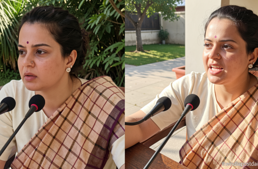
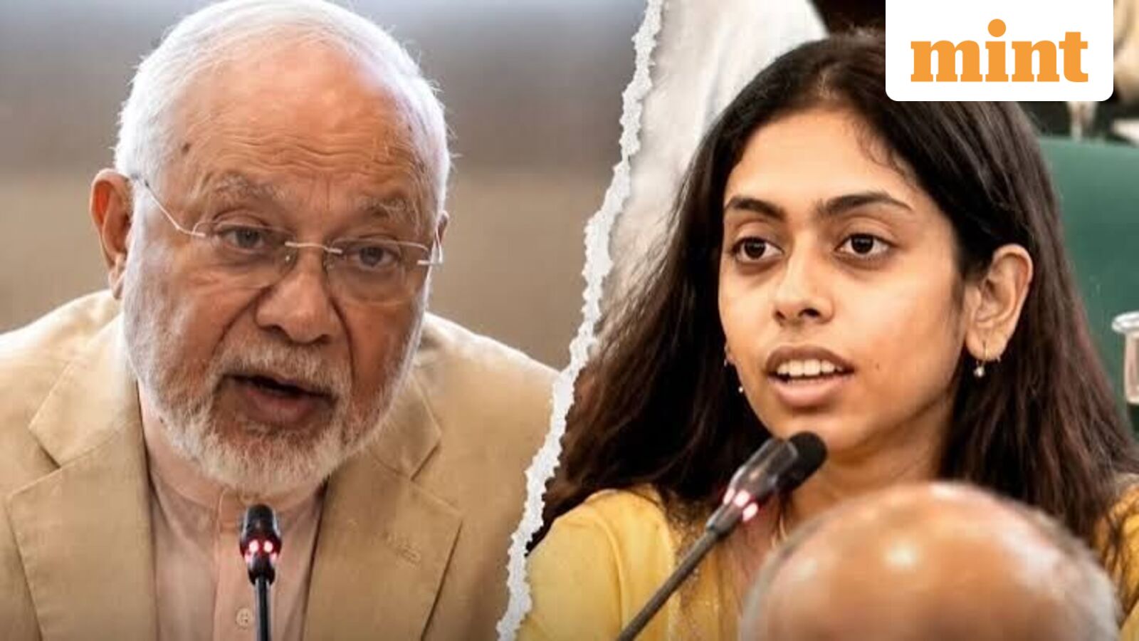
Theindiapostdaily.com – During a regional dialogue held at the Bangladesh Institute of International and Strategic Studies (BIISS), an Indian diplomat voiced strong objections to a map that misrepresented India’s territorial boundaries. The event, titled “Rebuilding Trust, Renewing Regional Integration: Pathways for Revitalising SAARC,” aimed to strengthen diplomatic ties across South Asia. However, the moment sparked controversy when a map displayed at the seminar omitted key regions like Jammu and Kashmir (J&K), highlighting concerns over the accuracy of geographical portrayals in international forums. The Indian representative, Pooja Kumari Jha, emphasized that J&K is an integral and sovereign part of India, a stance rooted in its 1947 accession to the Union. Her intervention underscored the importance of correct map representation in reinforcing national sovereignty during cross-border discussions.
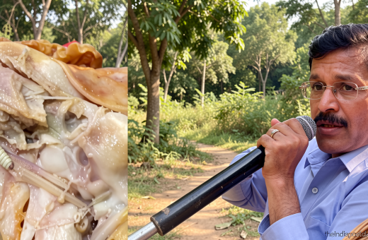
The map in question, presented by Bangladesh’s former High Commissioner to India, Ahmed Tariq Karim, excluded areas such as Pakistan-occupied Kashmir and Aksai Chin from India’s territory. Jha, a Second Secretary at the Indian High Commission in Dhaka, swiftly corrected the error, stating, “The map of India depicted is incorrect. Jammu and Kashmir is an integral part of India.” Her remarks were met with immediate acknowledgment from Karim, who confirmed the oversight. This incident reflects a recurring debate over the depiction of disputed regions in geopolitical contexts, with the Indian side stressing that such inaccuracies could fuel misunderstandings about the country’s territorial integrity.
Bangladesh’s Regional Integration Goals
As the chief guest at the seminar, Bangladesh’s State Minister for Foreign Affairs, Shama Obaed, outlined the nation’s vision for enhancing regional cooperation. She stressed the need for robust frameworks to accelerate SAARC (South Asian Association for Regional Cooperation) progress, citing the importance of trust-building among member states. Obaed emphasized that confidence-enhancing measures, such as senior-level diplomatic meetings and specialized institutions, are crucial for fostering economic and political unity in the region. Her address also highlighted Bangladesh’s proactive approach to engaging with neighboring countries, including India, to address longstanding issues and promote shared prosperity.
“We are committed to reviving SAARC’s potential through improved implementation mechanisms, greater financial coordination, and the establishment of specialized institutions,” Obaed stated, according to ANI. She further noted that diplomatic engagement with key SAARC officials and bilateral discussions would play a vital role in achieving this vision. While acknowledging the need for cooperation, Obaed also stressed that accurate representation of India’s territory remains essential to avoid disputes over sovereignty, particularly in the context of regional alliances and trade agreements.
Map Inaccuracies and Their Diplomatic Implications
The incident at the BIISS seminar is not the first time map inaccuracies have drawn attention from Indian diplomats. Earlier this month, the United States’ decision to rename its Indo-Pacific Command to the Pacific Command, effective March 2023, sparked similar reactions. The command’s updated website featured a map that excluded Pakistan-occupied Kashmir and Aksai Chin, regions claimed by India. While the U.S. explained the change as a reflection of historical naming, it left room for interpretation, prompting New Delhi to assert that J&K and Ladakh are inseparable from Indian territory. The Indian diplomat’s objection at the seminar aligns with this broader narrative, underscoring the sensitivity of map representation in diplomatic settings.
Indian officials have consistently reiterated that Jammu and Kashmir’s integration into India was a complete and irreversible process. The 1947 accession, in which the state joined the Dominion of India, is cited as a legal foundation for its current status. However, the dispute over the region’s boundaries remains a focal point of Indo-Pak relations. The incorrect map at the Bangladesh seminar, while seemingly minor, highlights how such representations can influence perceptions of India’s territorial claims. By objecting to the map, the Indian diplomat not only corrected a factual error but also reinforced the country’s position on the issue, ensuring that it remains a central theme in regional dialogues.
The seminar’s context—revitalizing SAARC—adds significance to the diplomat’s objection. As South Asia seeks to deepen economic and political ties, accurate map portrayals become critical in fostering mutual understanding. The inclusion of J&K in India’s territory is not just a geographical detail but a symbol of national unity. The Indian representative’s swift correction of the map demonstrated a proactive stance in safeguarding the country’s territorial narrative. This moment also emphasized the role of diplomatic engagement in addressing such issues, ensuring that discussions on regional integration are grounded in factual clarity.
Furthermore, the incident underscores the importance of consistency in how countries represent each other’s territories. While Bangladesh’s focus was on regional cooperation, the map’s inaccuracy raised questions about its alignment with India’s territorial claims. The Indian diplomat’s intervention served as a reminder that even in alliances, sovereignty and territorial integrity must be upheld. Such moments create opportunities for dialogue, allowing nations to address discrepancies while reinforcing their positions. The seminar, therefore, became a microcosm of broader South Asian dynamics, where collaboration and accuracy in representation are both vital.