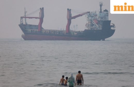
Indonesia earthquake today: Death toll rises to 38, victims ‘trapped’ in buildings after 7.7 magnitude quake—10 updates
Indonesia earthquake today saw a powerful 7.7-magnitude earthquake strike the waters near eastern Indonesia on Saturday, resulting in at least 38 confirmed
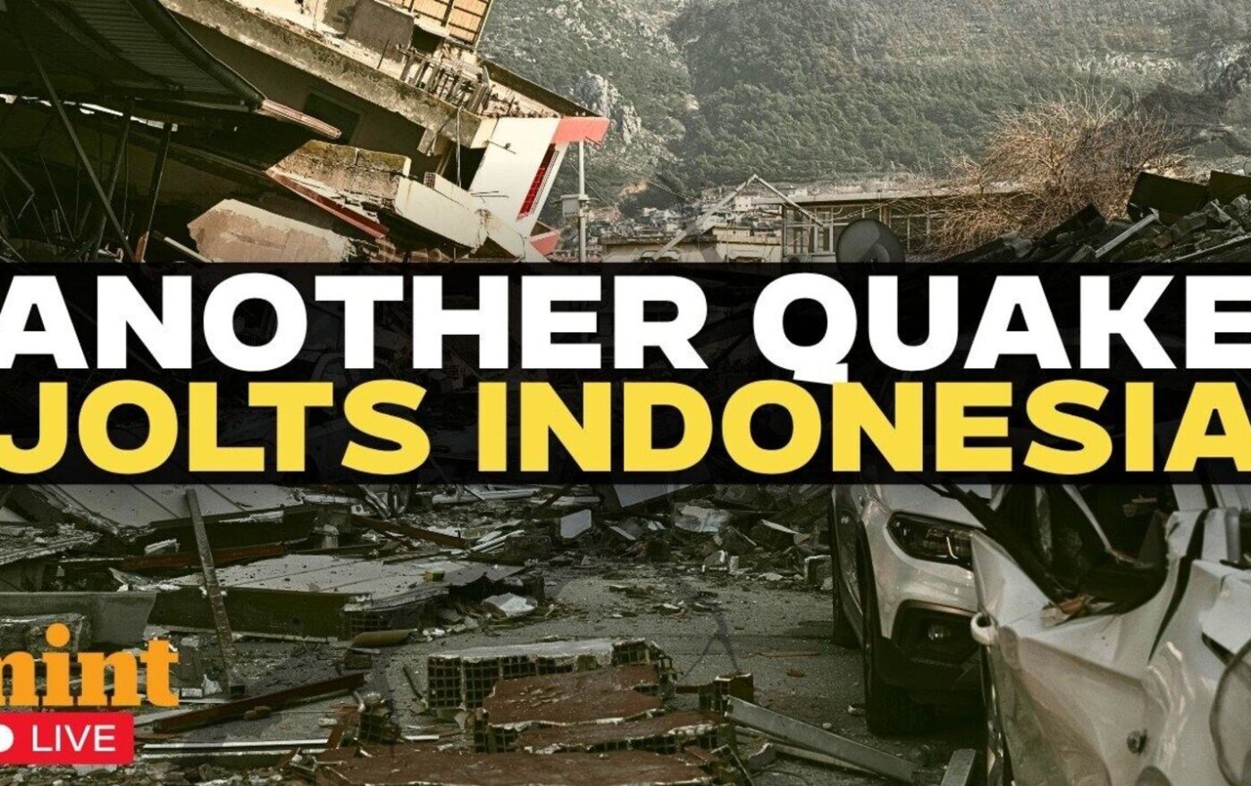
Indonesia Earthquake Today: 38 Dead After 7.7 Magnitude Quake
Theindiapostdaily.com – Indonesia earthquake today saw a powerful 7.7-magnitude earthquake strike the waters near eastern Indonesia on Saturday, resulting in at least 38 confirmed fatalities and triggering widespread rescue operations. The devastating seismic event sent shockwaves through coastal communities, with emergency teams in Maumere successfully recovering twenty bodies from collapsed buildings. Fathur Rahman, who coordinates the regional rescue effort, reported that six people sustained injuries and two others remained trapped beneath debris.
Maumere, located on Flores Island, serves as the administrative hub for Sikka Regency in eastern Indonesia. The town’s strategic position along the coast made it particularly vulnerable to the earthquake’s impact, with many residents waking to find their homes reduced to rubble.
Rescue Operations and Evacuation Efforts
Suharyanto, director of Indonesia’s National Disaster Management Agency (BNPB), confirmed that survivors continue to be confined within multiple structures across the affected zones. Fallen earth from landslides has obstructed several roads, significantly complicating relief work. “Victims are trapped in several buildings. These will be the initial targets of the disaster response teams,” he told AFP correspondents.
Authorities confirmed that approximately two thousand locals relocated to secure areas away from their residences, as reported by Reuters. In Nagekeo alone, around two thousand individuals were moved to safety. The BNPB documented extensive damage extending to residential properties, storage facilities, and public offices. Electrical outages and transportation delays were also noted in sections of the regency.
Witness Accounts and Visual Evidence
During a media briefing, East Nusa Tenggara Governor Emanuel Melkiades Laka Lena revealed that five fatalities occurred when structures fell while occupants were resting. Verified video captured at a Maumere harbor depicted a section of construction collapsing into fragments as terrified residents ran into open areas.
“The earthquake was extremely powerful and the shaking was intense. We were at home with our family when it struck,” said Nona, a fifty-one-year-old from Talibura village in East Nusa Tenggara. She noted that thirteen relatives were inside the dwelling when the event occurred, prompting everyone to rush outside for safety.
Yulian Juita Ekalia, a thirty-seven-year-old academic residing in Ruteng city, experienced the tremor from more than one hundred kilometers (sixty miles) west of the epicenter. She told AFP she had never encountered such a strong shaking before. “The shaking felt as though she were ‘on a trampoline,'” she described, calling the moment frightening. The lecturer was awakened around 5:30 am local time, which corresponded to 2130 GMT on Friday.
Aftermath and Geological Context
Television coverage from Kompas TV displayed medical staff moving patients outside a facility in the Ende district of East Nusa Tenggara. Additional reports from Kompas.com confirmed at least one landslide took place in the area.
The Indonesian Meteorology, Climatology and Geophysics Agency documented fifty-two subsequent tremors ranging from 3.6 to 6.2 in magnitude, according to Bloomberg. These aftershocks followed the primary earthquake and continued to cause concern among residents.
Indonesia sits atop the Pacific “Ring of Fire,” a geologically active zone where tectonic plates meet and interact. This positioning makes the nation susceptible to regular seismic events and volcanic eruptions throughout the year.
Tsunami waves measuring under one metre (three feet) were observed across various regions of the Southeast Asian country following the early morning disturbance. Emergency officials lifted the tsunami alert approximately three hours after the initial quake struck.
Frequently Asked Questions
What caused the Indonesia earthquake today?
The earthquake was caused by tectonic plate movement along the Pacific Ring of Fire, where Indonesia is located. The 7.7-magnitude quake struck the waters near eastern Indonesia, with its epicenter close to Flores Island.
How many people were affected by the earthquake?
At least 38 people lost their lives, with many more injured. Approximately four thousand locals were relocated to safe areas, with two thousand in Nagekeo and two thousand in other affected regions.
Was there a tsunami warning after the earthquake?
Yes, tsunami waves measuring under one metre were observed across various regions. Emergency officials lifted the tsunami alert approximately three hours after the initial quake struck.
How many aftershocks were recorded?
The Indonesian Meteorology, Climatology and Geophysics Agency documented fifty-two subsequent tremors ranging from 3.6 to 6.2 in magnitude following the main earthquake.